

As part of the interdisciplinary project “80 Years Since World War II: Art in Times of War,” students from the Geography Elective, guided by Ms. María Patricia Jerez, completed an exploration on the territorial dimension of World War II through a hands-on Historical Cartography activity. This initiative invited students to analyze the war not only as a sequence of events, but as a geopolitical process deeply marked by borders, occupation, and shifting territorial control.
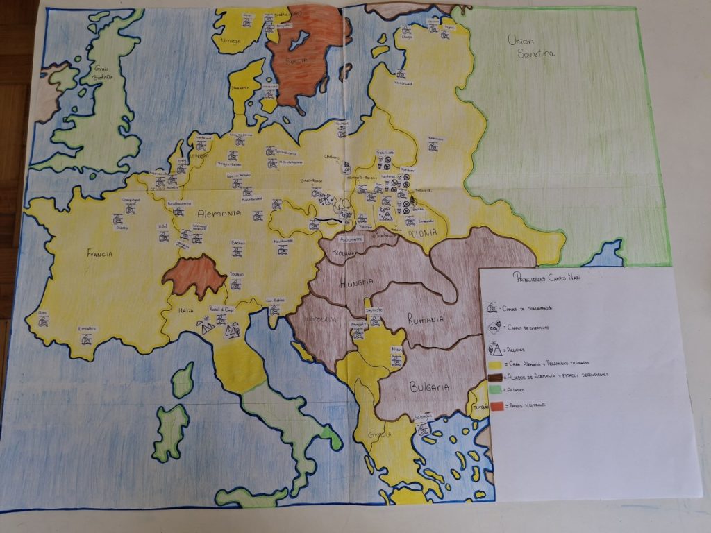
Working in the Geography Workshop, students examined historical maps that documented the expansion of Nazi Germany, comparing them to the contemporary map of Europe. Through this comparative analysis, they identified changes in borders, military routes, spheres of influence, and regions under occupation. This spatial perspective allowed them to understand how geography shaped the development of the war, influencing strategic decisions and determining the vulnerability or resilience of different territories.
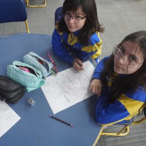
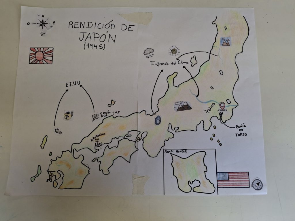
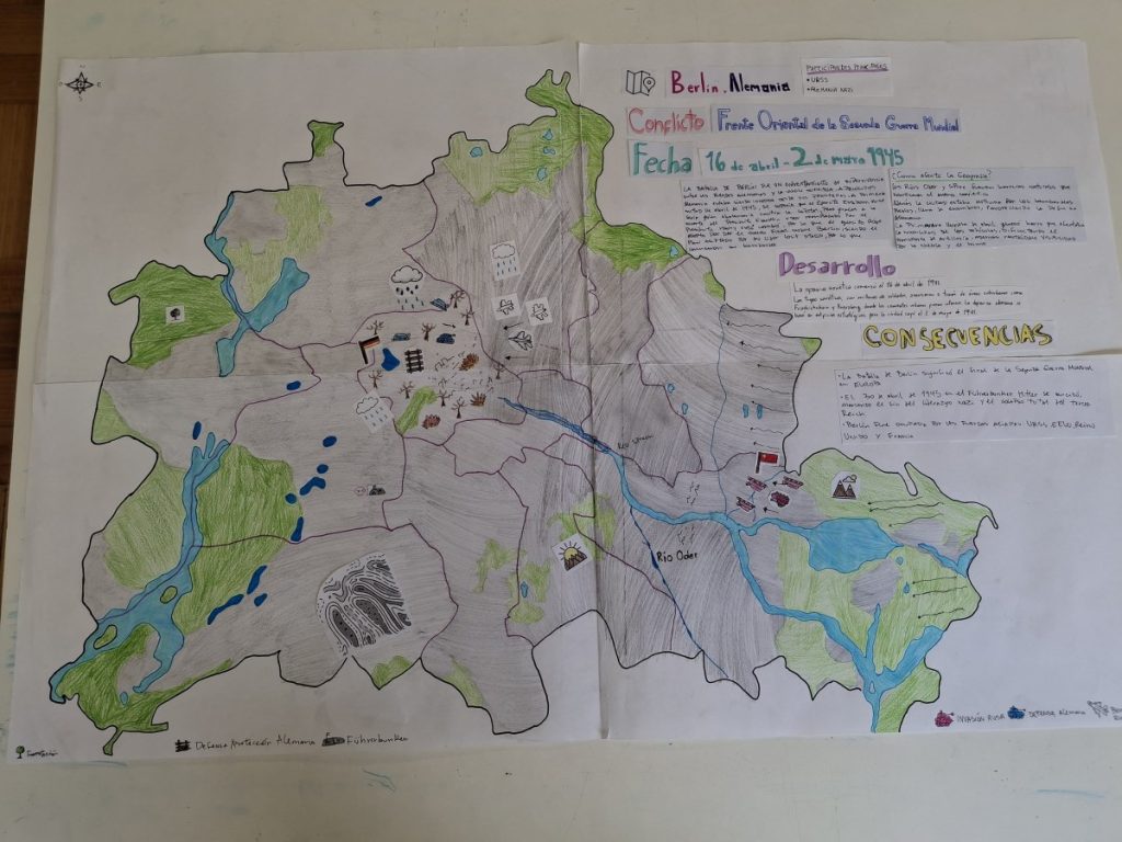
After studying these sources, students created their own manual comparative maps, layering Germany’s wartime expansion over today’s European landscape. Using printed maps, colored markers, symbols, and basic cartographic design tools, they produced visual representations that highlighted contrasts between past and present. Each map included a complete legend, color coding, dates, and labels that allowed viewers to understand the complex territorial dynamics of the conflict.
The cartography activity also connected naturally with other components of the project, complementing what students explored in History, Visual Arts, Aesthetics, Advanced English Literature, and the AI Workshop. By analyzing territory, students gained a deeper appreciation of the geographical context behind the stolen artworks, wartime propaganda, forced migrations, and human experiences discussed across the project.
The final maps demonstrate the precision, dedication, and analytical growth of the students, offering a visual interpretation of how conflict reshaped Europe.


